We turn laser-scan point clouds into accurate Revit as-built models, floor plans and level views — for renovation, retrofit and facility management.
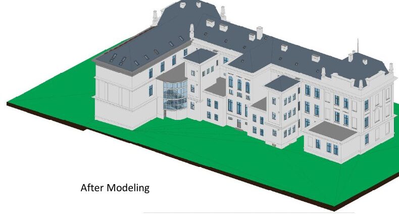
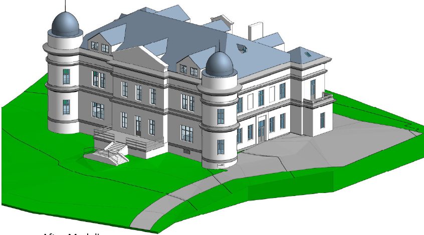
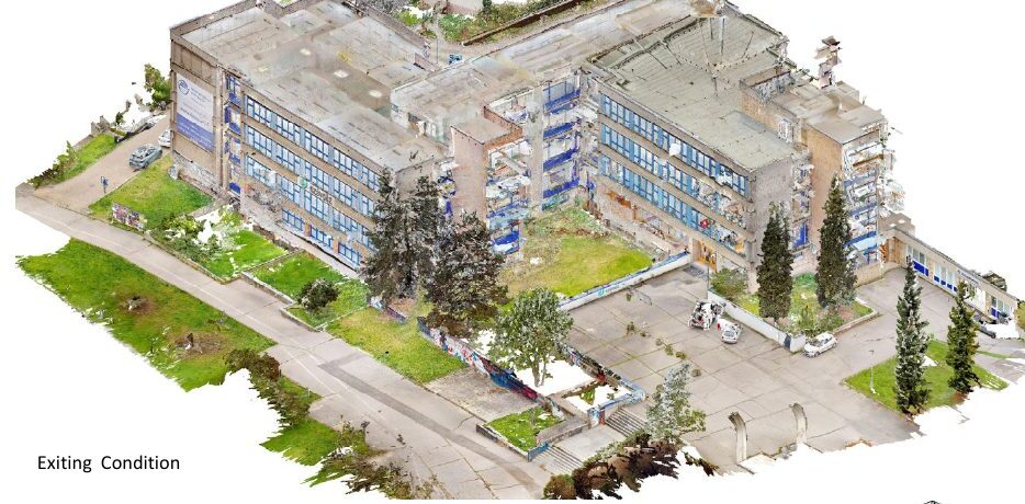
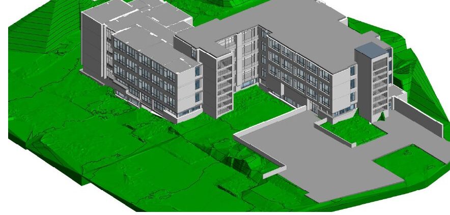
A registered laser scan is linked into Revit, and walls, floors, roofs, openings, stairs and terrain are modeled to match it. The result is an accurate as-built BIM model that architects, engineers and owners can design, coordinate and manage from.
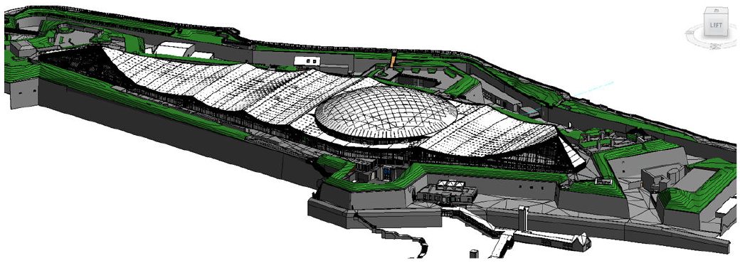
We have delivered Scan to BIM models for historic schools and villas, commercial buildings, industrial halls, leisure complexes and hillside residences — at LOD 300, and LOD 400 for selected areas where more detail is needed.
Registered RCP / RCS / E57 scans modeled in Revit.
Walls, floors, roofs, openings, stairs and facades.
Topography, retaining walls and external works.
Historic facades, domes, roofs and complex geometry.
Typical floor plans and exploded level views.
Models shared online for all stakeholders.
Registered point clouds are linked into Revit with correct coordinates.
Elements are modeled to match the scan at the agreed LOD.
The model is checked against the point cloud for accuracy.
Model, plans and views are delivered and shared.
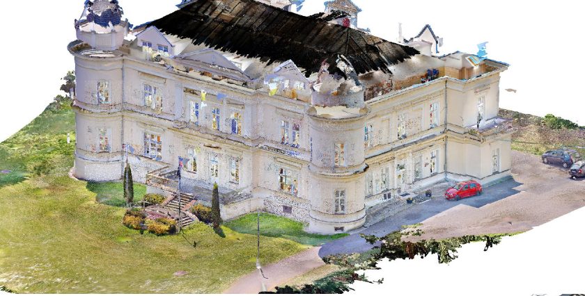
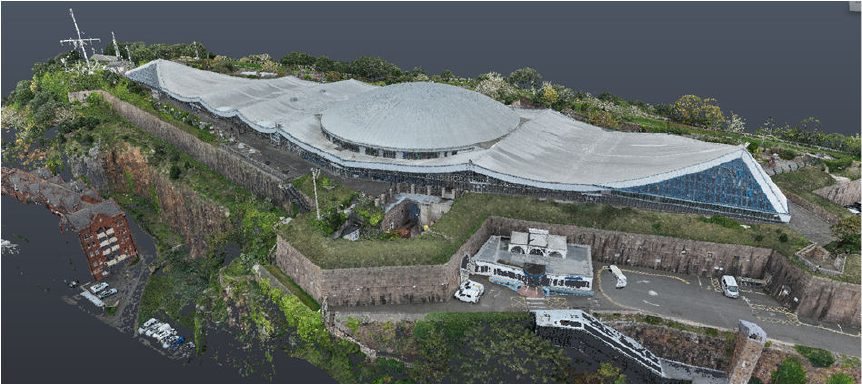
Registered RCP / RCS (Autodesk ReCap) and E57 files. Site photos help us confirm details.
Usually LOD 300, with LOD 400 for selected areas that need more detail.
Yes. We have modeled historic schools and villas with domes, complex roofs and detailed facades.
Yes. We deliver typical floor plans, sections, elevations and exploded level views with the Revit model.
Send your drawings or scope — we usually reply within one working day.